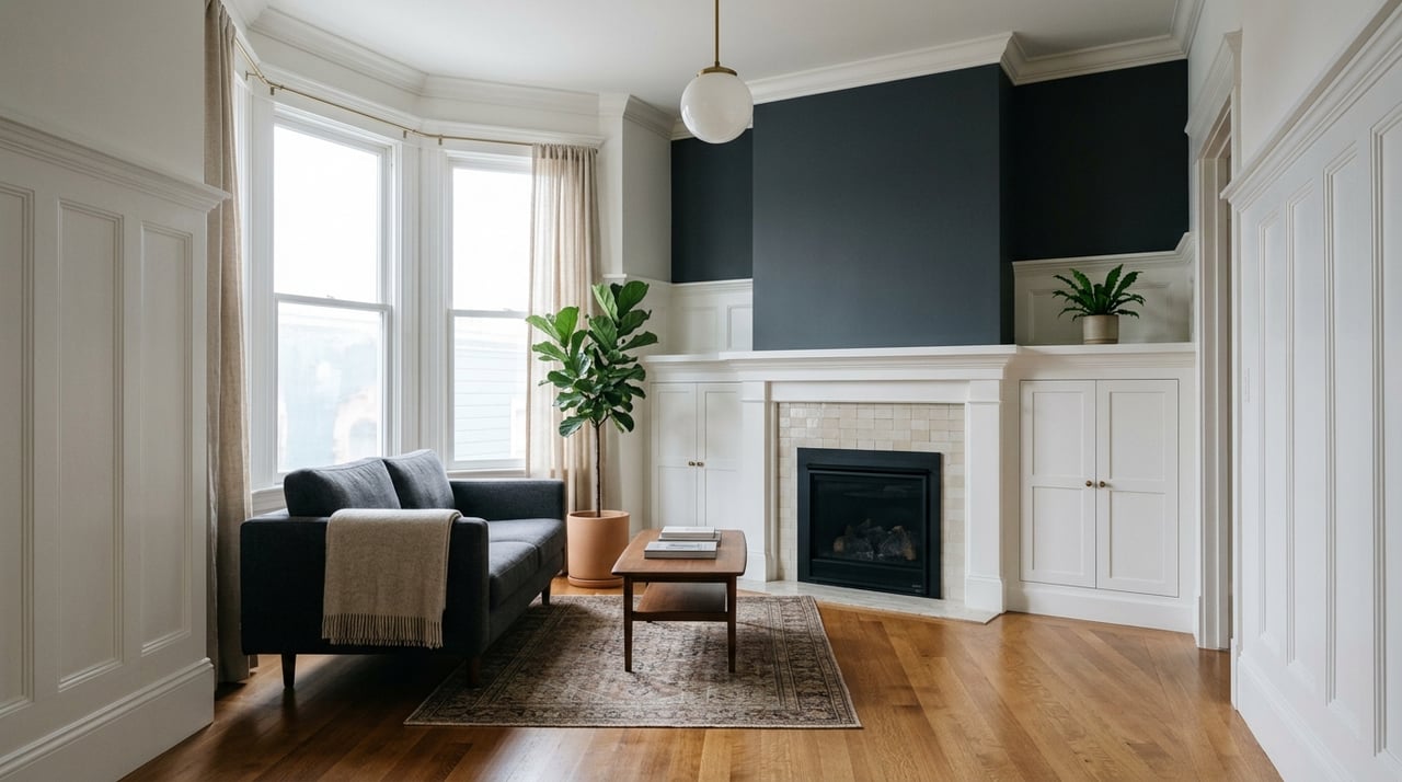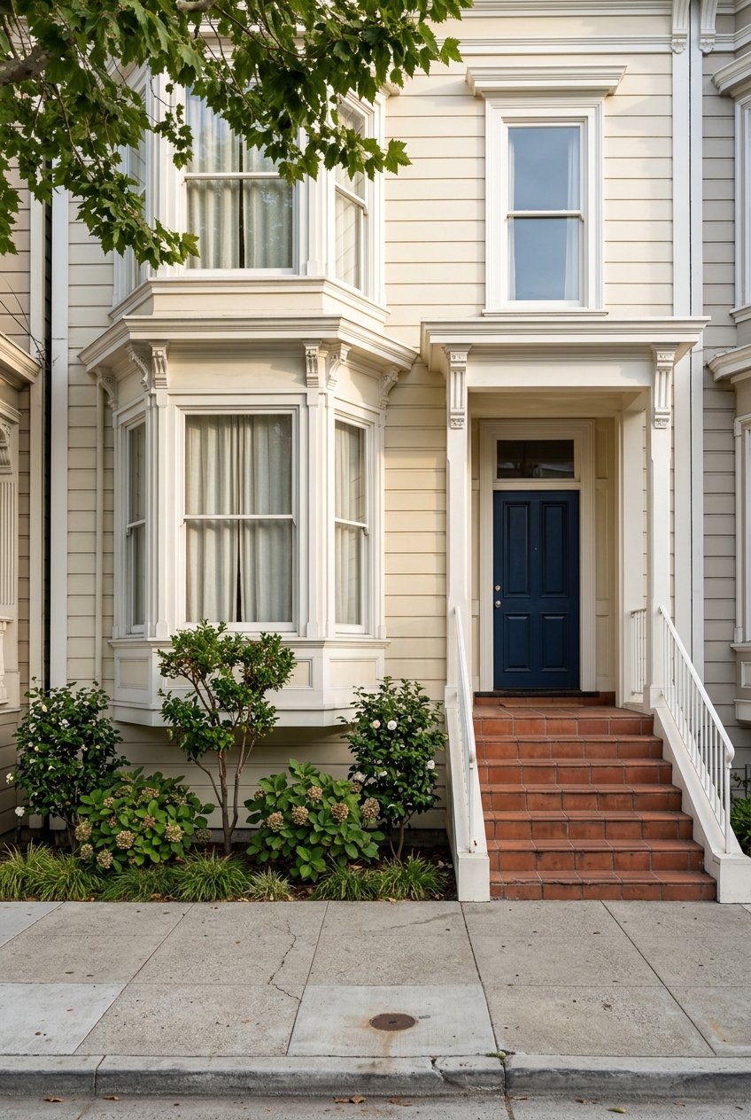
If you are hoping to live in San Francisco with fewer car keys and more flexibility, you are not alone. In a city that covers just 49 square miles, your day-to-day experience can shift dramatically depending on which neighborhood you choose. The good news is that many parts of San Francisco make car-light living realistic, especially when you understand how transit, walking, and biking come together. Let’s dive in.
Why car-light living works here
San Francisco is compact by big-city standards, and the city’s transportation network gives you more than one way to get around. According to SF Travel’s transportation guide, getting around can include transit, walking, bicycling, ferries, taxis, ride-hailing, and cars, which is a big reason many households can reduce daily driving.
Muni is at the center of that equation. SFMTA notes that San Francisco’s Transit First policy dates back to 1973, and today the system includes buses, light rail, historic streetcars, cable cars, and the F-line streetcar. Even more important for daily life, SFMTA’s Rapid Network information says rapid routes carry nearly 70% of riders and still keep a Muni stop within a quarter mile of every resident.
For regional trips, the network broadens. Clipper works across BART, Muni buses, Muni Metro, and cable cars, while ferry service from the Ferry Building can connect you to Marin, the East Bay, Treasure Island, and Vallejo. In practical terms, that means your neighborhood choice shapes whether you need a car occasionally, rarely, or not much at all.
The city works on a gradient
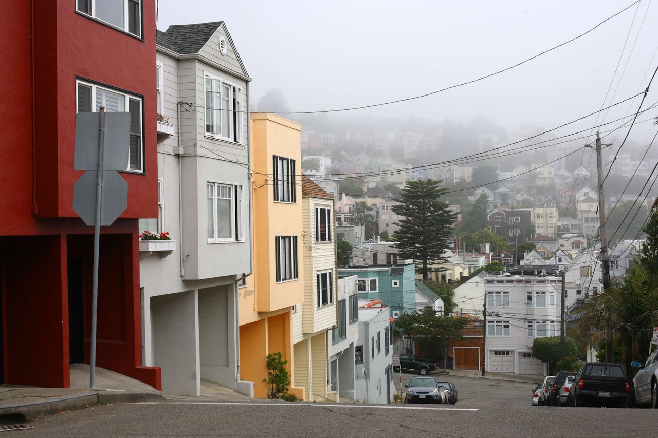
Not every neighborhood supports the same version of car-light living. In broad terms, the east-side and Market Street core are the easiest places to live with little or no daily driving, the Mission stands out for bike-and-transit flexibility, and the west side often works best with a bit more planning.
That distinction matters if you are choosing between convenience, space, topography, and access to regional transit. It also helps you frame the tradeoffs clearly if you are buying a home and trying to match lifestyle with block-by-block reality.
Downtown and north side options
Chinatown and North Beach
If your goal is to walk often and rely on transit the rest of the time, Chinatown is one of the clearest examples in the city. SF Travel describes Chinatown as accessible by foot, bus, BART, taxi, ride-hail, and cable car, and the Central Subway added Chinatown-Rose-Pak and Union Square/Market Street stations.
Right next door, North Beach layers in a lively, walkable environment with cafés, parks, restaurants, and self-guided walking-tour appeal. This part of the city works especially well if you want errands, dining, and transit options clustered close together.
Nob Hill and the Financial District
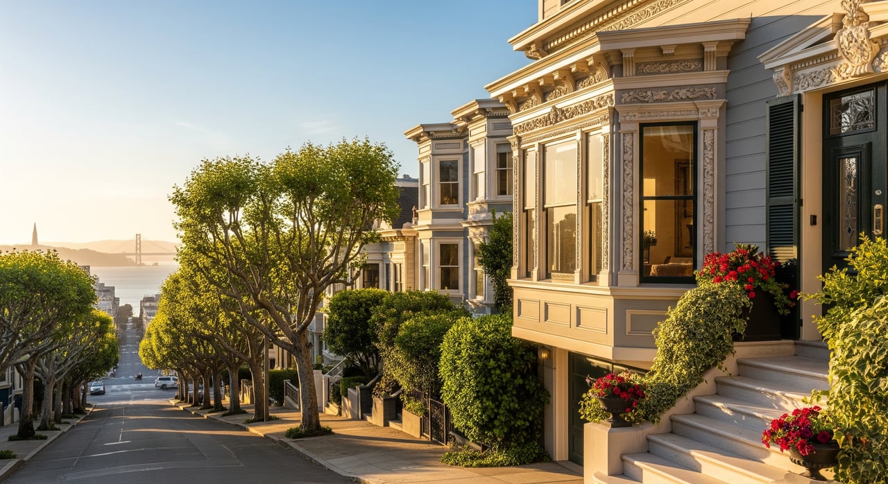
Nob Hill offers a classic San Francisco setting with cable car access and close connections to Chinatown, the Financial District, and Fisherman’s Wharf. SF Travel’s Nob Hill overview highlights those landmark-rich surroundings, which help keep many destinations within easy reach.
For a more transit-centered lifestyle, the Embarcadero and Financial District stand out. SF Travel calls the area a transit hub centered around the Ferry Building, while BART stations at Embarcadero and Montgomery make regional commuting simpler. If you want the easiest version of car-free weekdays with the option for occasional car-share weekends, this cluster is hard to beat.
Market Street corridor choices
Hayes Valley and Civic Center access
Hayes Valley is a strong fit if you want a neighborhood feel without losing access to central San Francisco. SF Travel describes Hayes Valley as a district shaped after the removal of the Central Freeway, now centered on boutiques, restaurants, Patricia’s Green, and nearby City Hall.
That mix matters because it supports short trips on foot while keeping you close to major transit. You get a more residential rhythm than the downtown core, but still benefit from a highly connected part of the city.
Mid-Market and Upper Market
Mid-Market is compact, but that is part of the appeal. SF Travel describes this seven-block section as a mix of offices, performing arts venues, retail, restaurants, and public plazas, which creates a setting where many daily needs can happen close to home.
Farther west, Castro and Upper Market pair neighborhood identity with strong transit access. SF Travel notes that the historic F-line streetcar runs through the Castro, and SFMTA lists Castro Street among the accessible underground Muni Metro stations. For many buyers, this corridor hits a sweet spot between urban energy and neighborhood character.
The Mission corridor shines for bike-plus-transit living
Mission District and Valencia
If you picture daily life unfolding on foot, by bike, and through quick transit connections, the Mission is one of San Francisco’s strongest examples. SF Travel highlights the Mission District through the commercial corridors of Mission, Valencia, and 24th Street, along with Dolores Park, murals, and restaurants.
Transit support is strong here too. Materials for the 16th Street Mission station area note nearby neighborhood-serving retail and close access to Valencia Street restaurants, bars, and entertainment. That kind of density makes it easier to build routines that do not depend on a car.
Valencia adds an important bike layer. SFMTA says the Valencia corridor redesign preserves a safe separated bikeway, improves access to mid-block destinations, and helps circulation for businesses. If biking is part of how you want to move through the city, this is one of the most compelling areas to study closely.
Dogpatch and Mission Bay
If you like the idea of car-light living but want flatter terrain and a newer-feeling environment, Dogpatch and Mission Bay deserve a look. SF Travel describes the area as easily accessible by public transit and entirely flat, with bakeries, coffee shops, bars, restaurants, and parks.
That combination can be appealing if hills are a concern or if you want a slightly calmer day-to-day rhythm than the Mission. It is still firmly connected, but the built environment feels different from older central neighborhoods.
The west side can work with planning
Sunset and the Avenues
The west side often surprises people who assume it is too far-flung for a car-light lifestyle. The Sunset District, commonly grouped into the Avenues, stretches toward Ocean Beach and offers a different pace than the east-side core. SF Travel’s Golden Gate Park and Sunset overview describes the district as a grid of row houses reaching the coast.
A notable shift is Sunset Dunes, a two-mile oceanfront public space created from the former Great Highway and permanently transformed into a car-free recreational area. SF Travel notes that you can reach it by the N Judah at the north end or the L Taraval at the south end, and it is also accessible on foot or by bicycle from Golden Gate Park.
That said, the west side is best understood as car-light with planning rather than fully car-optional in every pocket. Inner-west locations near stronger Muni corridors may work well without daily driving, while outer sections can feel less convenient for larger grocery runs, commuting patterns, or regional trips.
Richmond District
The Richmond follows a similar pattern. SF Travel describes the Richmond as a large, slower-paced district with major dining and shopping corridors along Clement, Geary, and Balboa.
For some buyers, that tradeoff is worth it. You may gain a different residential feel and still keep a car-light routine, but it usually requires more intentional planning than neighborhoods closer to downtown, Market Street, or the Mission corridor.
Practical transit and bike details
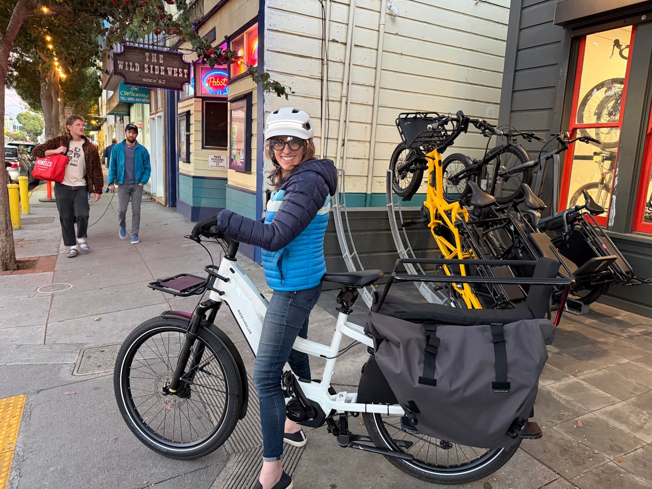
Car-light living feels more realistic when the daily mechanics are clear. San Francisco’s bike infrastructure is part of that story, and SFMTA’s bike network map shows lanes, routes, and paths across the city. SFMTA also notes that more people are turning to bicycles for everyday travel and that the city continues to build dedicated bike lanes and safer streets.
Bike-plus-transit is also fairly straightforward. SFMTA says every Muni bus has two or three front bike racks, folding bikes are allowed on Muni Metro and light rail vehicles, and cable cars do not take bikes. Those details matter when you are deciding whether your routine can be flexible enough without a car in the driveway.
How to choose the right fit
The best neighborhood for car-light living depends on how you actually move through the city. If you want the easiest transit access and the shortest list of tradeoffs, start with the downtown core, Chinatown, the Financial District, and the Market Street corridor. If biking is central to your lifestyle, the Mission and Valencia corridor deserve serious attention.
If you prefer a more residential or coastal feel, the Sunset and Richmond may still work well, but the fit becomes more personal and route-dependent. In San Francisco, car-light living is less about a single yes-or-no answer and more about matching your home search to your real daily patterns.
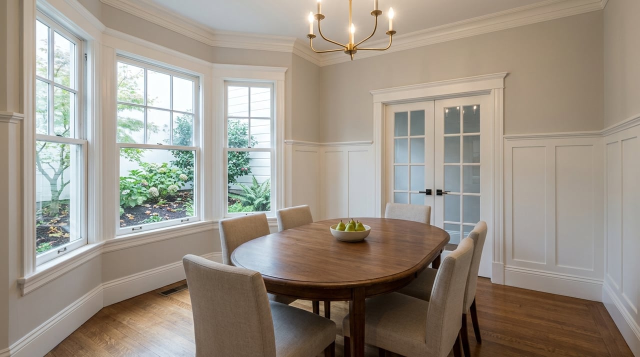
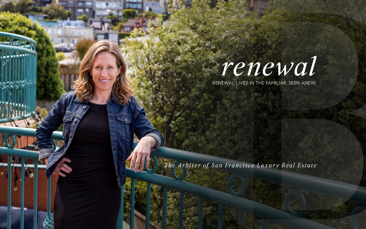
If you are weighing that balance and want a nuanced read on how transit access, block character, and home style intersect, Brandi Mayo can help you compare San Francisco neighborhoods with clarity and a design-minded local perspective.
FAQs
Which San Francisco neighborhoods are best for car-light living?
- The strongest options are generally Chinatown, North Beach, Nob Hill, the Financial District, Hayes Valley, Mid-Market, Castro/Upper Market, and the Mission, based on their mix of transit access, walkability, and nearby daily amenities.
Is the Mission District good for living without a car in San Francisco?
- Yes. The Mission is one of the city’s best examples of bike-and-transit-supported living, with strong commercial corridors, BART access, and bike improvements along Valencia.
Can you live car-light on San Francisco’s west side?
- Yes, but it is usually more conditional. Parts of the Sunset and Richmond can support car-light living, especially near stronger Muni corridors, though outer sections often require more planning.
What makes downtown San Francisco easier for car-free weekdays?
- Downtown and nearby north-side neighborhoods combine dense amenities with major Muni, BART, cable car, and ferry connections, making errands and commuting easier without daily driving.
Is biking practical for daily transportation in San Francisco?
- In many neighborhoods, yes. SFMTA maintains a citywide bike network, every Muni bus has bike racks, and folding bikes are allowed on Muni Metro and light rail vehicles.