A great San Francisco weekend does not need a long road trip or a packed itinerary. In a city of just 49 square miles, parks and waterfront spaces shape how you move, gather, and experience each neighborhood. If you want a feel for San Francisco’s outdoor lifestyle and the homes that sit beside it, this guide will walk you through some of the city’s most memorable park and waterfront settings. Let’s dive in.
Why parks matter in San Francisco
San Francisco Recreation and Park manages more than 230 parks, playgrounds, and open spaces, and the department says every resident lives within a ten-minute walk of a park. That simple fact helps explain why open space feels so woven into daily life here.
It also helps explain why San Francisco neighborhoods are best understood through rhythm and character rather than strict boundaries. SF Planning notes that neighborhoods are shaped by history, geography, and culture, with no official boundaries, so a weekend outdoors can also become a smart way to understand how the city lives.
Start at Crissy Field
Crissy Field is one of the clearest expressions of San Francisco’s park-meets-waterfront identity. The National Park Service describes it as the Presidio’s premier recreation area, with a restored tidal marsh, beaches, a flat promenade, and wide views of the Golden Gate Bridge and San Francisco Bay.
This is the kind of place that invites an easy morning. You can walk at your own pace, take in the bay air, and enjoy a landscape that feels open and expansive without leaving the city.
Crissy Field has layered history
Crissy Field is more than a scenic stretch of shoreline. According to the National Park Service, the site began as coastal wetlands used seasonally by the Ohlone, later became a military airfield, and was built in part on landfill tied to the 1915 exposition era.
That layered history is part of what gives the area its distinct feeling. You are not just walking along the water. You are moving through a place where natural systems, civic change, and public access all overlap.
The Marina adds residential context
If you are also thinking about San Francisco housing patterns, the Marina offers a useful comparison. SF Planning’s 2012 to 2016 neighborhood profile shows 6,930 housing units in the Marina, with much of the housing in 2 to 4-unit and other low- to mid-rise multifamily buildings, along with 74% renter occupancy.
That built form matters because it shows how waterfront access here often pairs with smaller-scale multifamily living rather than large detached-home blocks. For buyers, sellers, and relocators, the Marina is a strong example of how outdoor access and urban residential form work together in San Francisco.
Walk the Embarcadero
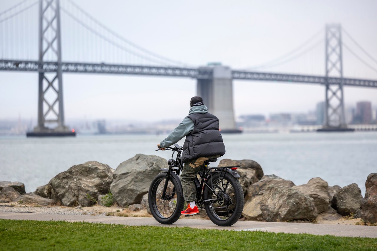
If Crissy Field feels breezy and open, the Embarcadero feels energetic and urban. The Port of San Francisco says it manages 7.5 miles of bayside shoreline, and the Embarcadero Promenade runs from Fisherman’s Wharf to Oracle Park as part of the Bay Trail.
This stretch works well for a weekend because it supports more than one pace. You can stroll, stop for a meal, bike through, or use transit to connect different parts of the waterfront.
The waterfront is active infrastructure
The Embarcadero is not just a scenic edge. The Port’s Waterfront Resilience information says the Embarcadero Seawall underpins more than three miles of waterfront and supports public space, historic district fabric, housing, and maritime uses.
That makes this area important both as a lifestyle destination and as part of the city’s physical framework. It is a place where public access, daily activity, and long-term city planning meet.
Expect a denser housing backdrop
SFMTA describes the Embarcadero as one of the city’s most vibrant and well-visited public spaces, and notes that a newer bikeway was added because the shared-use promenade had become crowded. That tells you a lot about how actively this waterfront is used.
The adjacent Financial District and South Beach area presents a much denser residential pattern than the Marina. SF Planning’s profile shows 12,510 housing units, with 95% of units in buildings with 20 or more units, a median structure year of 1989, 67% renter occupancy, and 54% single-person households.
For anyone comparing San Francisco lifestyles, this is one of the clearest examples of a newer, more vertical waterfront living environment. It offers a very different experience from the lower-rise character you see near Crissy Field.
Spend time in Golden Gate Park
Golden Gate Park is the city’s defining inland landscape. SF Recreation and Park describes it as a 1,017-acre, three-mile-long urban park bordering the Haight, Cole Valley, Richmond, and Sunset areas, with 680 forested acres, 130 acres of meadows, and 33 acres of lakes.
Those numbers help explain why the park can anchor an entire day. It is not a single scene or destination. It is a large civic landscape with room for quiet walks, open lawns, and longer explorations across multiple neighborhood edges.
The west side shifts block by block
One of the most interesting things about Golden Gate Park is how the housing changes around it. SF Planning’s neighborhood profiles show Sunset and Parkside as strongly single-family, with 73% single-family housing and a median structure date of 1939.
As you move closer to other park edges, the pattern becomes more mixed. Inner Sunset has 47% of units in 2 to 4-unit buildings and 21% single-family homes, while Inner Richmond shows the same 47% in 2 to 4-unit buildings and 21% single-family homes.
This creates a gradient rather than one fixed neighborhood type. In practical terms, the park connects areas with different residential textures, from more uniform house-lined blocks to denser flats and small apartment buildings.
Golden Gate Park helps define neighborhood rhythm
For buyers and sellers, that housing gradient matters. Park access is not separate from the housing story here. It shapes how blocks feel, how people spend their weekends, and how neighborhoods relate to one another.
It also gives the west side a distinct sense of scale. Some homes feel closely tied to broad residential streets, while others feel integrated into a more mixed urban fabric near the park’s active edges.
Explore smaller neighborhood parks
Large destination parks get the headlines, but smaller neighborhood parks often reveal how San Francisco works day to day. They act like civic rooms, each with its own scale, history, and relationship to nearby homes.
These stops are especially helpful if you want to understand the city beyond the major waterfronts and landmark parks. They show how public space can shape neighborhood identity on a much more intimate level.
Washington Square in North Beach
Washington Square offers a strong example of a smaller park with lasting community importance. SF Recreation and Park says it was established in 1847 and serves as a natural gathering place that hosts festivals, free movie nights, and other events.
That role is important in a city where neighborhood life often happens in compact, walkable settings. A park like this is less about grand scale and more about repeated use, familiar routines, and a strong public presence.
Alta Plaza in Pacific Heights
Alta Plaza Park provides a very different setting. SF Recreation and Park says the park is bounded by Clay, Jackson, Scott, and Steiner streets and includes dog play, picnic, playground, basketball, and viewing amenities.
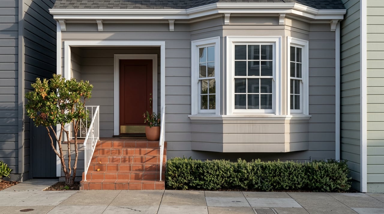
It also sits within Pacific Heights, where SF Planning’s Residence Parks Historic Context Statement describes early 20th-century garden-suburb housing as large-lot, landscaped residential development with distinctive streetscapes and decorative amenities. Together, the park and its surroundings show how topography, open space, and residential design can create a highly defined neighborhood character.
Alamo Square and its iconic homes
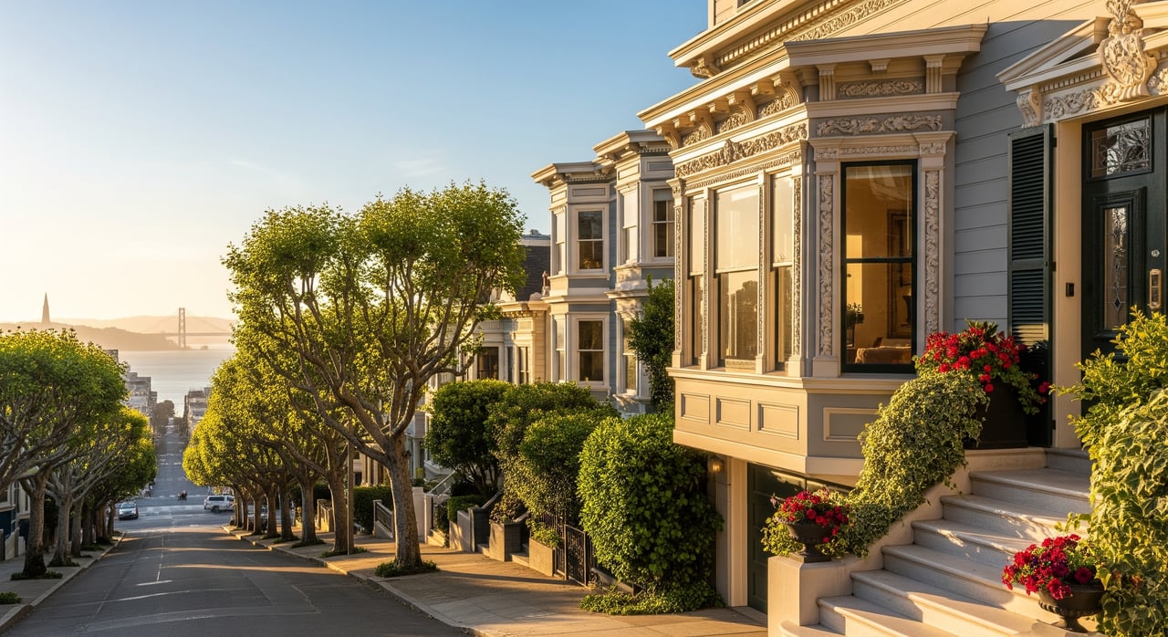
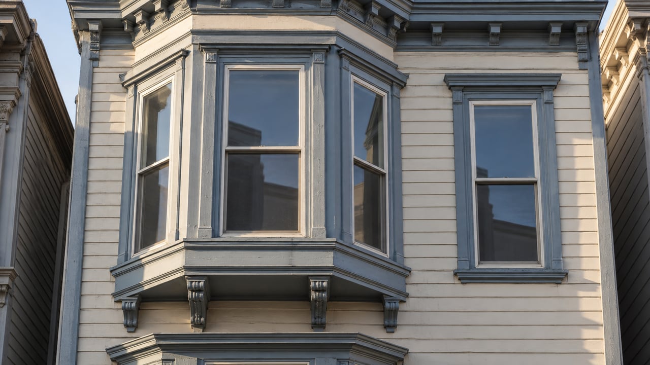
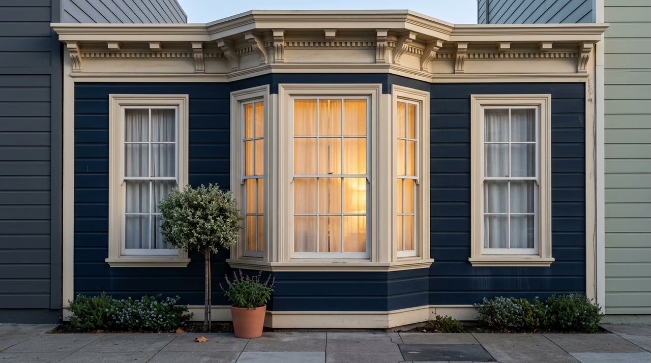
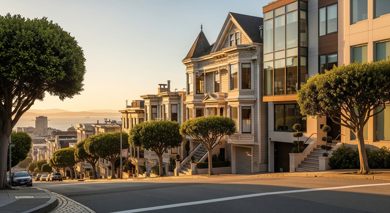
Alamo Square may be the city’s most recognizable park-and-housing pairing. SF Recreation and Park identifies it as the home of the Painted Ladies and Postcard Row, while SF Planning materials describe the district as a small-scale, highly ornamented Victorian residential district spanning the 1870s through the 1920s.
For anyone drawn to architecture, this is one of the strongest places to see how a park can frame a memorable residential streetscape. The open lawn and the surrounding historic homes create one of San Francisco’s clearest visual conversations between public space and private architecture.
Duboce Park and daily life
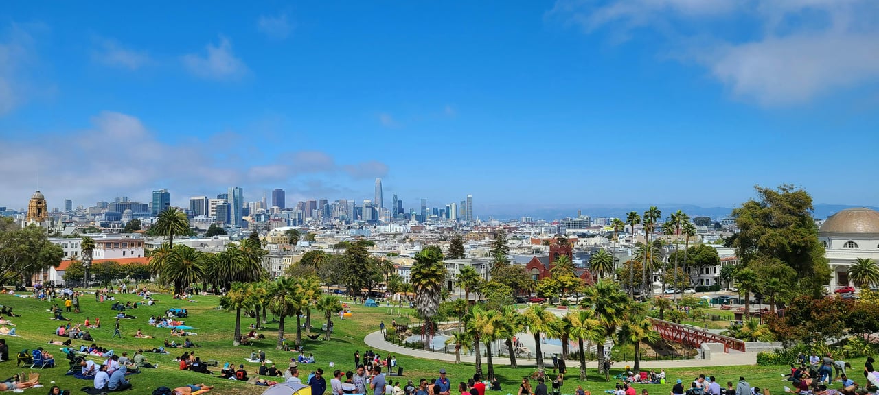
Duboce Park rounds out the picture with a more everyday feel. SF Recreation and Park says it was established in 1900, became a tent city after the 1906 earthquake, and today functions as a lively community hub with a dog play area, playground, and basketball court.
This kind of park tells you a lot about neighborhood use patterns. It is rooted in daily activity, local memory, and practical gathering space rather than grand views alone.
What this weekend reveals about San Francisco living
Taken together, these stops show that San Francisco’s outdoor life is deeply tied to its housing patterns. Crissy Field connects to low- and mid-rise multifamily living in the Marina. The Embarcadero pairs public shoreline access with a denser high-rise setting in Financial District and South Beach.
Golden Gate Park links several west-side neighborhood types, from single-family-heavy blocks to mixed flats and apartment buildings. Smaller parks like Alamo Square, Alta Plaza, Washington Square, and Duboce Park show how architecture, scale, and public space shape daily neighborhood rhythm.
If you are considering a move within San Francisco, relocating to the city, or preparing to sell, this matters. Park access often helps define not just recreation, but also block character, building form, and the lifestyle a home supports.
San Francisco is small enough to explore over a weekend, but layered enough to keep revealing new patterns each time you do. If you want help understanding which neighborhood setting fits your goals, or how to position a home within that lifestyle story, Brandi Mayo can help.
FAQs
What makes San Francisco parks so central to city life?
- San Francisco Recreation and Park manages more than 230 parks, playgrounds, and open spaces, and the department says every resident lives within a ten-minute walk of a park.
What can you do at Crissy Field in San Francisco?
- The National Park Service describes Crissy Field as a recreation area with a restored tidal marsh, beaches, a flat promenade, and views of the Golden Gate Bridge and San Francisco Bay.
How is the Embarcadero different from Crissy Field?
- The Embarcadero is a more urban waterfront setting with walking, biking, transit access, and a denser residential backdrop, while Crissy Field offers a broader park setting with beaches and open bay views.
What neighborhoods border Golden Gate Park in San Francisco?
- SF Recreation and Park says Golden Gate Park borders the Haight, Cole Valley, Richmond, and Sunset areas.
What kind of housing surrounds Golden Gate Park?
- SF Planning profiles show a mix, with Sunset and Parkside leaning strongly single-family, while Inner Sunset and Inner Richmond include many 2 to 4-unit buildings along with some single-family homes.
Which smaller San Francisco parks are worth visiting for neighborhood character?
- Washington Square, Alta Plaza Park, Alamo Square, and Duboce Park each offer a different view of how smaller parks shape neighborhood life, architecture, and public gathering space.